Project overview
The ‘Fast tracking WA and NT to align with nutritional feed base mapping technology advancements at a national level’ was a cross hub project led by the Northern Hub in partnership with the South-West WA Drought Resilience Adoption and Innovation Hub (SW WA Hub).
This project investigated satellite assisted forage budget technology, pasture species identification, key species in land systems identification and piloted two biodiversity surveys.
Rangelands NRM worked in collaboration with several experts to ensure knowledge exchange – both from industry to pastoralists and pastoralists to industry.
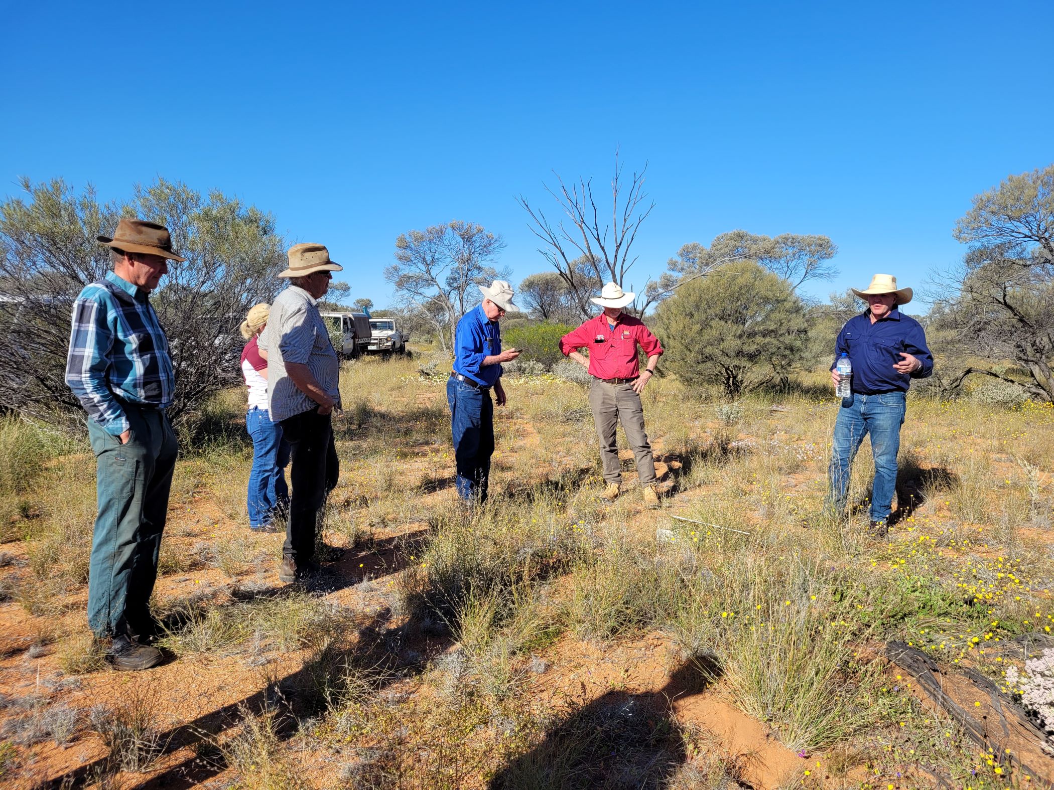
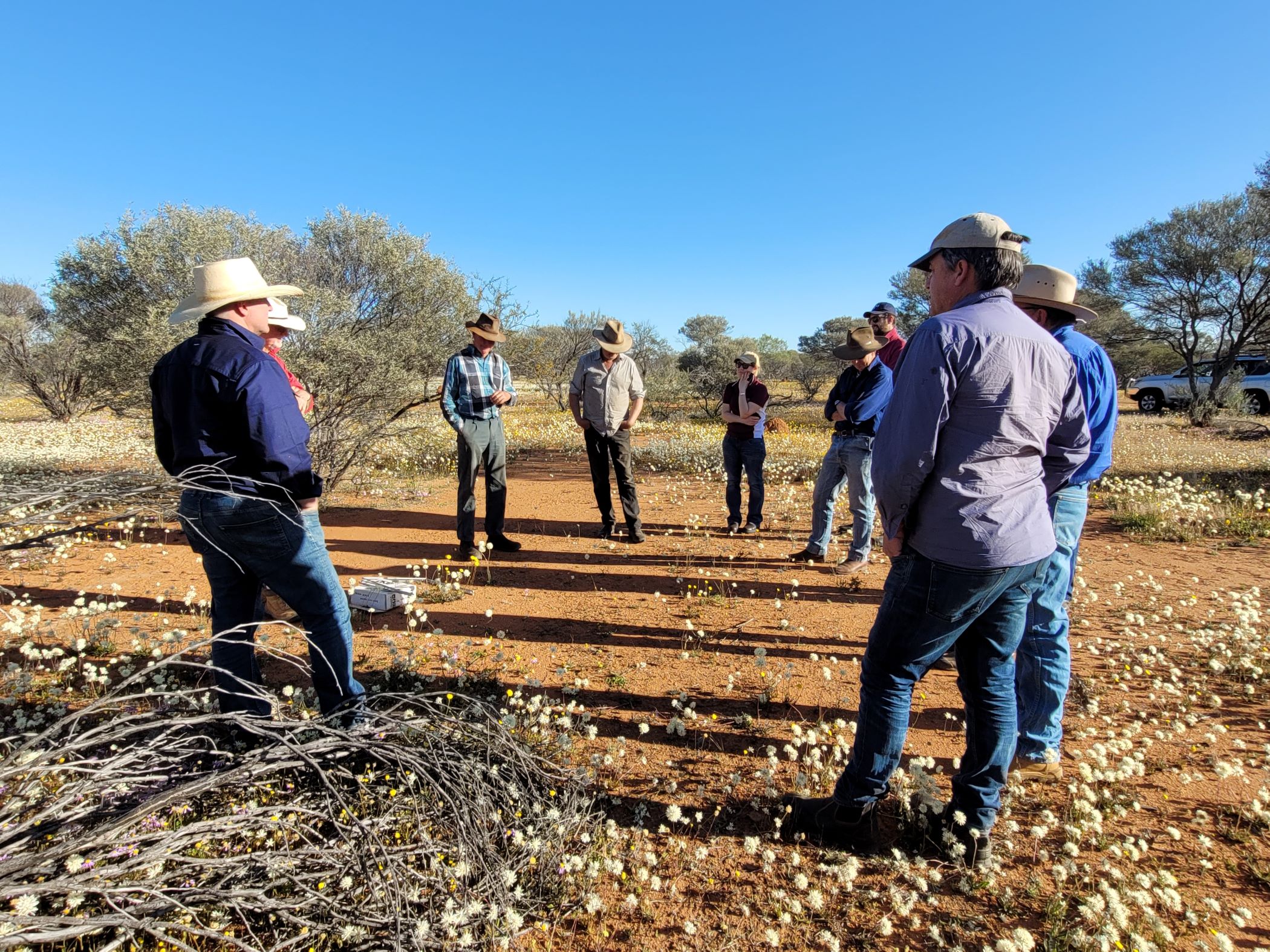
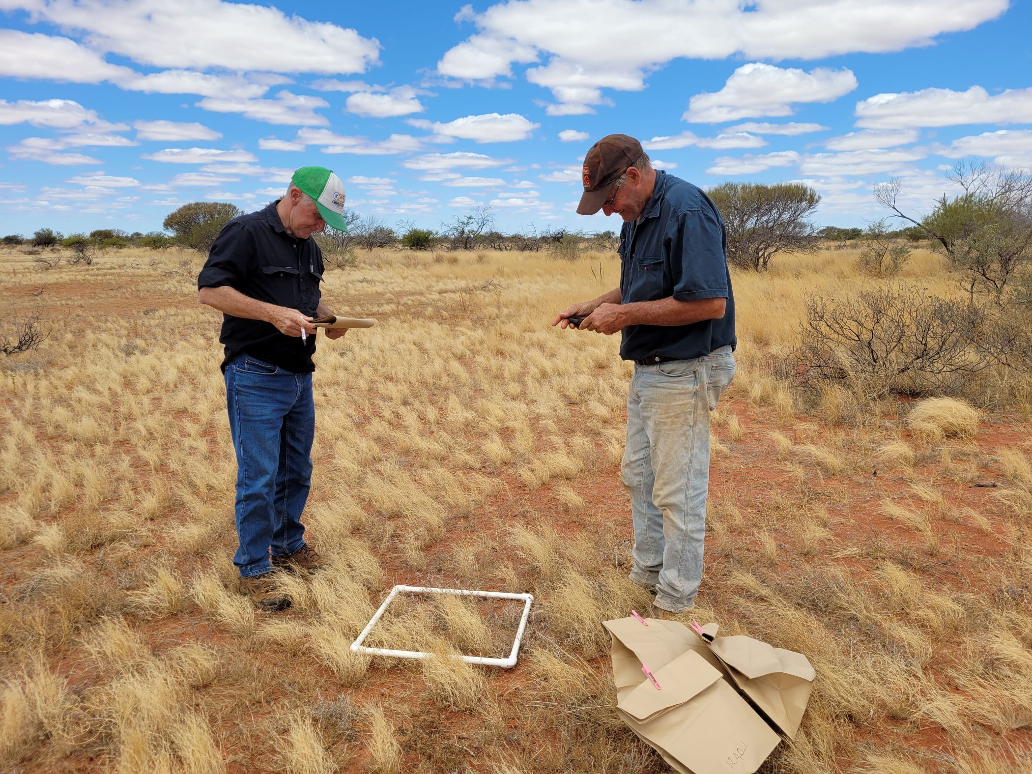
Ten stations were given the opportunity to be upskilled in species identification and key species identification in land systems on their stations, to better understand the nutritional value of the forage.
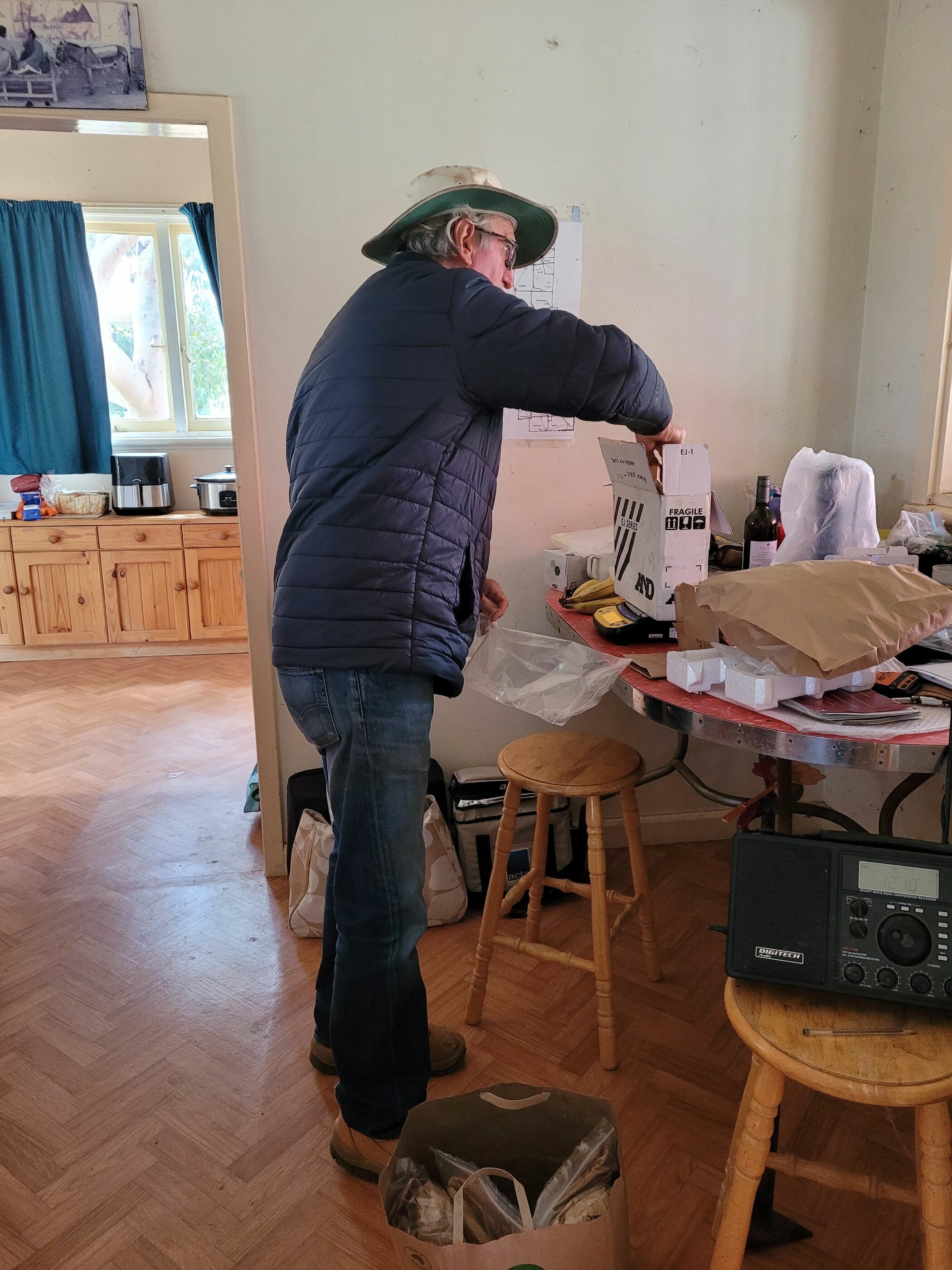
These 10 stations were also given the opportunity to have access to Cibo Labs Pasture Key Service, so that they could use this as a tool for making grazing management decisions. They were upskilled in how to use the Cibo Labs App and how to undertake pasture cuts. This was done in combination with Rangelands NRM and a rangelands expert.
Finally, two biodiversity pilot survey were undertaken. One each in Western Australia and the Northern Territory. This was a great opportunity not only for the landholders, but the project teams from both Territory NRM and Rangelands NRM. Baseline biodiversity surveys are topical and it is important for the industry to be part of the development around biodiversity data and management.
Impacts and results
Cibo Labs Calibrations
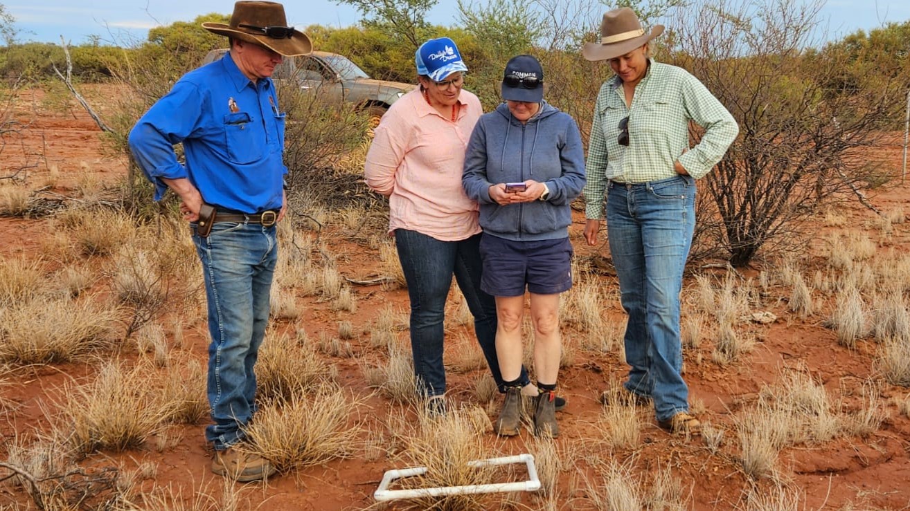
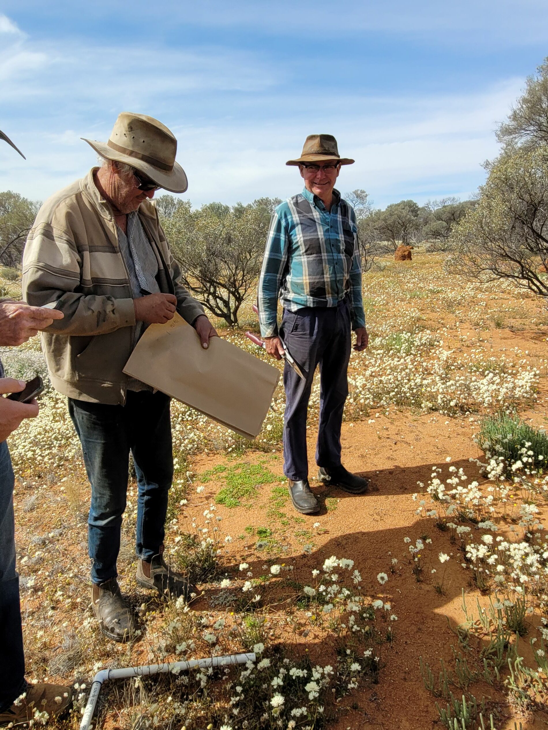
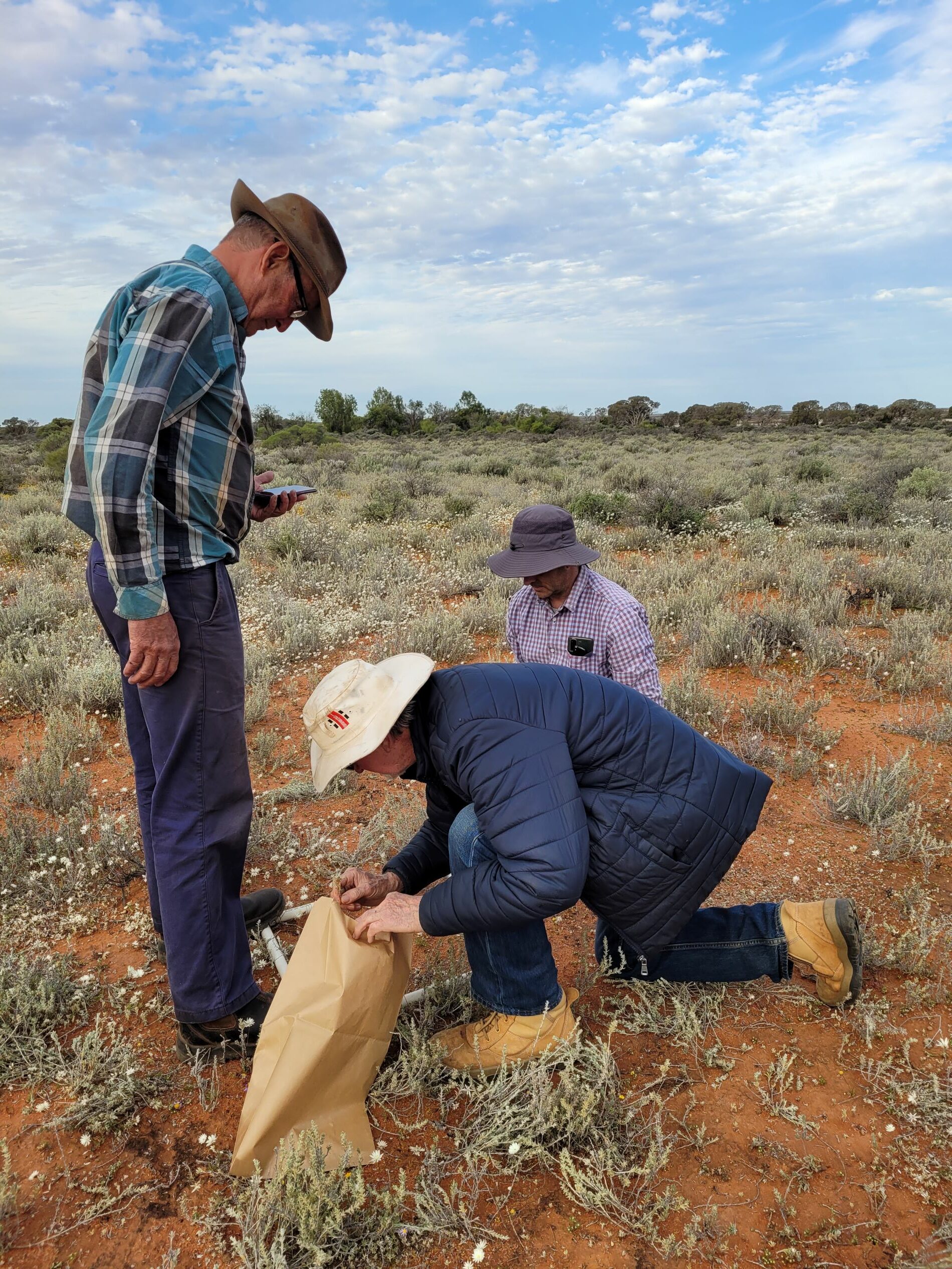
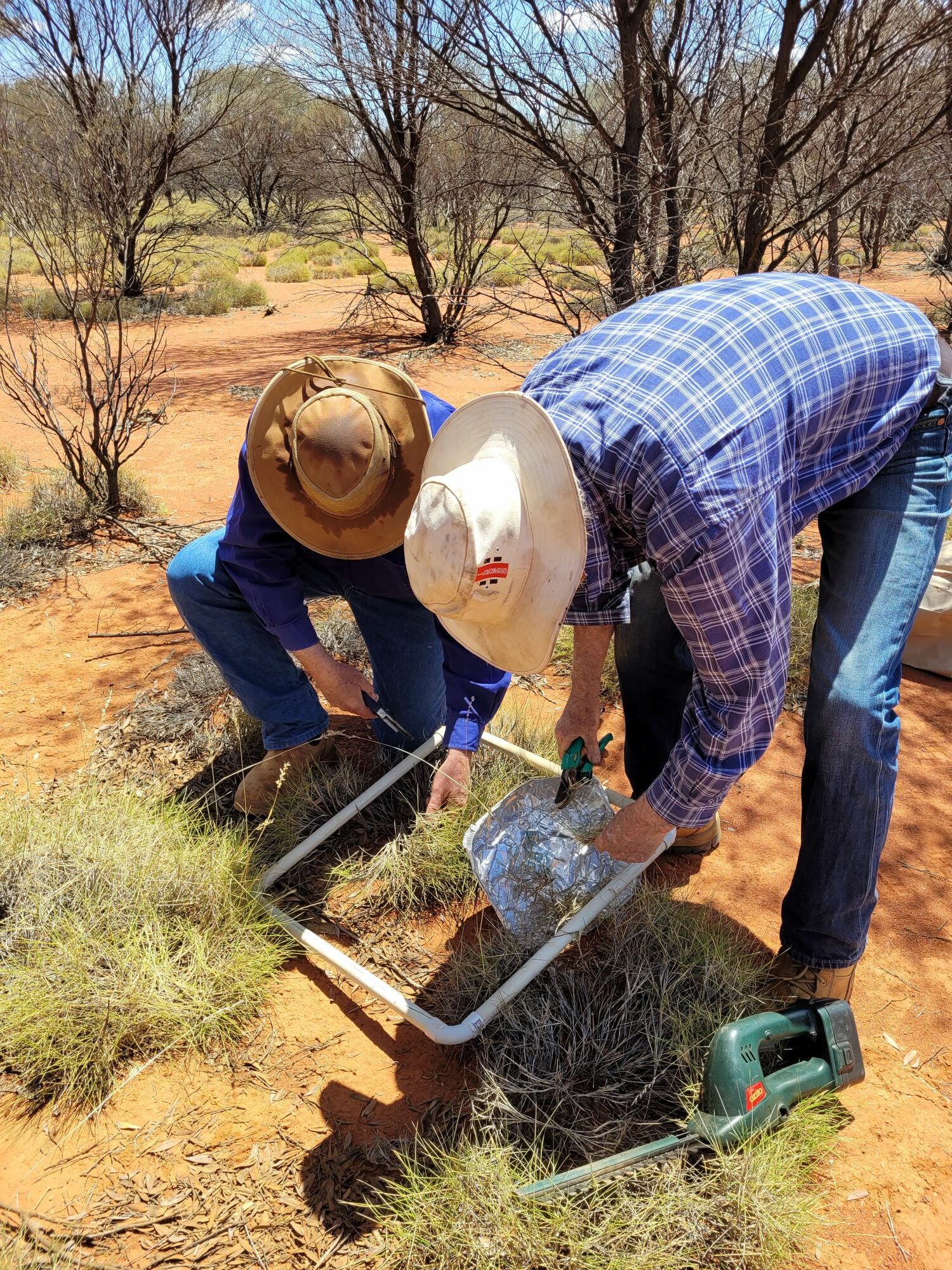
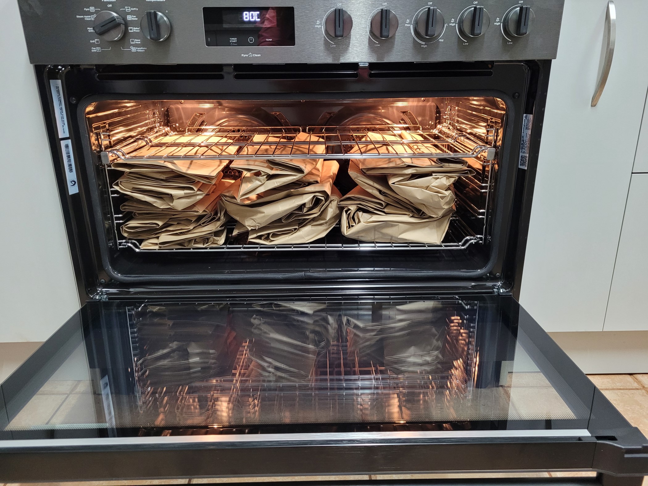
53 calibrations were undertaken over the course of the project, a very good outcome resulting in greater accuracy of the data pastoralists received back from Cibo Labs. This was especially true for the saltbush and cotton bush country where there was low accuracy to begin with due to a low number of data sets.
The calibrations also enabled pastoralists, RNRM staff and experts to calibrate their own visual estimates of feed on offer/total standing dry matter with pasture cuts and test their own accuracy.
Finally, the calibrations got everyone to look down rather than across. Concentrating your eyes at a quadrat level got everyone seeing what was actually on the ground. In some cases, there was much more biomass and diversity than expected, and other times much less.
There are varying degrees at which the pastoralists are using Cibo Labs Pasture Key Service. Some pastoralists are looking at the maps weekly, others fortnightly and those in drought conditions are not looking at it often. How the information is being used varies, with some using it to help inform grazing management decisions, others to look at patterns, changes, and effects of rainfall. Those in drought conditions are using it less often, usually because their total standing dry matter is scarce and stock have been removed where there is limited feed availability.
Pasture and key species identification
This was a significant outcome of the project. Over the years, a number of pastoralists have commented that they would like to be upskilled in species identification. This project gave that opportunity on a 1:1 basis with experts. Not only did we look at species identification, but also at keys species for land systems/areas: what was present, what it meant for the landscape and livestock health, and what we should be seeing.
Biodiversity Surveys
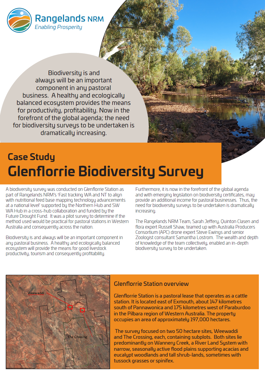
The biodiversity surveys were carried out at Glenflorrie Station in the Pilbara region of WA and Lakefield Station in Alice Springs, Northern Territory. On each station, two survey plots were selected both 50ha in size. Within these plots, two to three ground survey plots were selected at each site. Each ground survey site was 1ha. The drone survey mapped both the 50ha survey plots and each of the 1ha ground survey plots within them. Within the ground survey plots there was traditional on-ground surveys undertaken. This included vegetation transects, habitat condition and bird surveys. This was undertaken by skilled flora and fauna staff or contractors.
The surveys allowed the stations to record a baseline of data for the areas which were important to them, whether that be for conservation or grazing management or a combination. Survey protocols were developed which means the surveys are repeatable and can be redone in years to come to determine changes and what they mean for each area.
The Glenflorrie case study gives an overview of what was undertaken on that station.
This project was undertaken by Rangelands NRM with support from the Northern Hub and the South-West WA Drought Resilience Adoption and Innovation Hub, through funding from the Australian Government’s Future Drought Fund.
News
Satellite technology enhances grazing management in WA and the NT
A cross-Hub project has advanced nutritional feed base mapping technology in Western Australia and the Northern Territory, assisting pastoralists in managing grazing and stocking rates.
Recently, Rory De Pledge (Koordarrie Station), Kristy Bremer (Gascoyne Catchments Group), Sarah Jeffery (Rangelands NRM, Regional Hub Node Lead), and Jodie McTaggart (Bidgemia Station) caught up at Koordarrie Station to ground truth satellite images by identifying vegetation species and density.
In the initial phase of the project, 17 pastoralists from ten stations were trained to identify pasture species and other key indicators of livestock nutrition and rangeland ecology specific to their stations. The Northern Hub then funded an extension of the project to include five more stations in the Pilbara and Kimberley regions, including Koordarrie Station.
This project was undertaken by Rangelands NRM with support from the Northern and South-West WA Hubs, through funding from the Australian Government’s Future Drought Fund.
Source: SW WA Hub newsletter, June 2024
Additional resources
Case study: Glenflorrie Biodiversity Survey
Collaborators
Contact
Sarah Jeffery
Project Manager and Sustainable Agriculture Facilitator, Rangelands NRM
sarahj@rangelandswa.com.au
Tanya Kilminster
Knowledge Broker, South-West WA Drought Resilience Adoption and Innovation Hub
tkilminster@gga.org.au