Project overview
Six Drought Hubs collaborated nationally in this 18-month project with the combined objective of using digital technology to monitor and assess ground cover and forage availability to better manage rangeland condition across seasons.
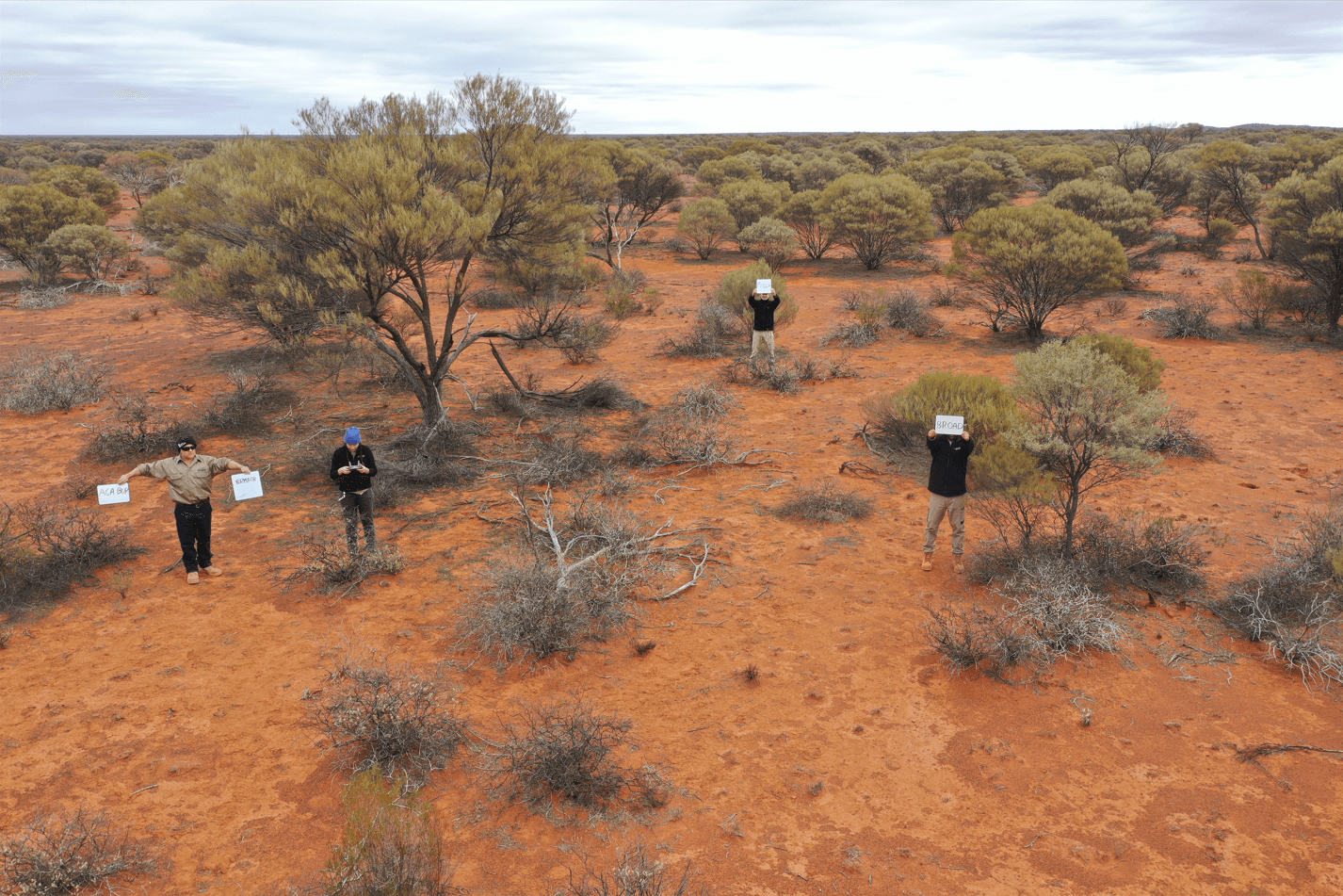
At a local level, the SW WA Drought Hub and Contour Environmental and Agricultural Consulting, in partnership with Goldfields-located Yerilla Station, trialled and developed a methodology for an aerial photography-based tool to assist pastoralists make proactive stocking decisions across their landscape. The team combined ‘off the shelf’ unmanned aerial vehicle (UAV) technology with remote sensing and traditional on-ground photographic and in-person assessments.
The project has developed a digital library of pasture condition over multiple sites on Yerilla Station to calibrate and guide real time stocking rate decision making. It is anticipated the tool developed as part of this project will be applicable across all pastoral leases within the Southern Rangelands and extending into all rangelands regions of Australia.
Managing rangelands condition is one of the most important issues for managing pastoral enterprises sustainably over the long term.
Impacts and results
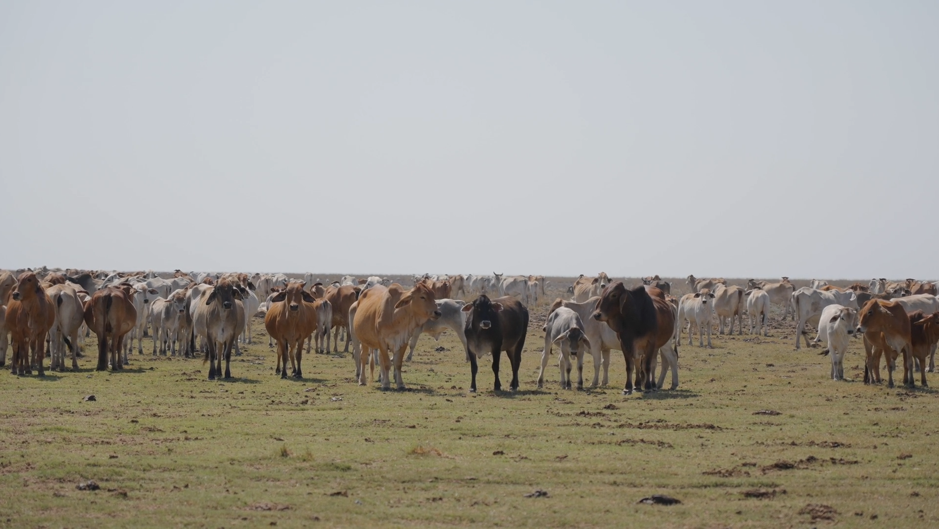
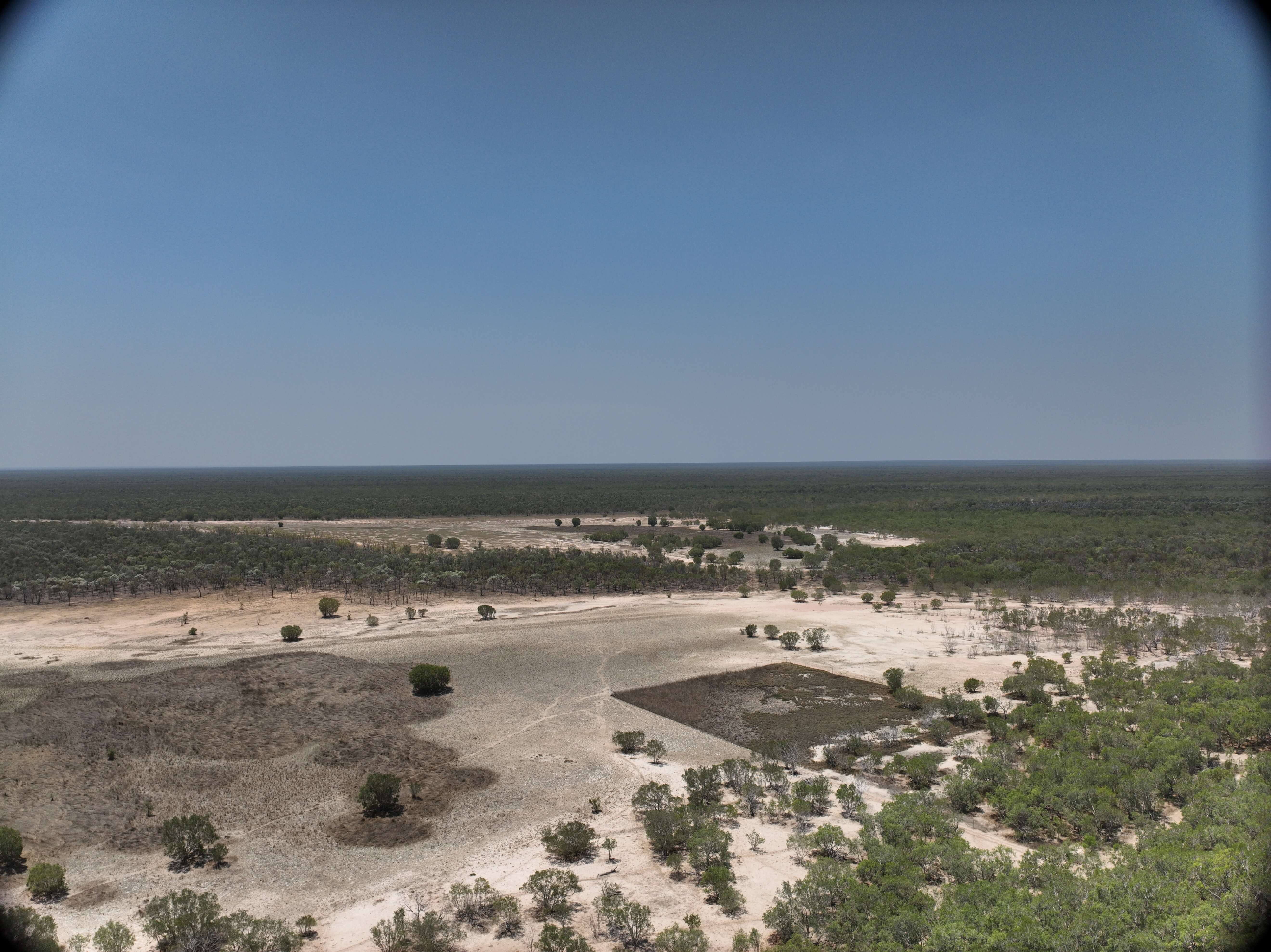
Eight monitoring sites were established at Yerilla Station, 150 km north-east of Kalgoorlie, through field visits, using waterpoint data, geospatial analysis, and on-ground assessments. Areas considered sensitive to excessive grazing were selected as subsites, and information such as pasture type, current pasture condition, extent of erosion and important indicator species (e.g., increaser and decreaser species) was recorded. Rain gauges were installed.
The project team used the drone programming app ‘Litchi for DJI drones’ to capture monthly photos of each subsite to monitor changes in pasture condition and cover of indicator species.
Three procedure manuals and a supplementary monitoring tool were developed:
- Two Pastoralist Handbooks (cattle specific and sheep specific), which outline the entire process for re-assessment of each monitoring site and how to record and store data.
- One Consultant Handbook, which outlines the process of establishing a monitoring programme, selecting suitable monitoring sites, programming drone missions and how to develop and hand over the Pasture Monitoring Package for pastoralists.
- A ‘rolling rainfall to stocking rate’ spreadsheet, which allows pastoralists to track rainfall received and their real-time stocking rates against the stocking rate recommended according to the median rainfall received on the station. Combined with the comparison of monthly photos, this tracker is designed to be used to inform stocking decisions, i.e. whether or not stock should be moved into or out of an area based on the pasture condition and amount of rainfall received in preceding months.
A tailored Pasture Monitoring package for Yerilla Station was developed, including GPS coordinates and pre-programmed flight missions for each monitoring site, and photos of each subsite with accompanying commentary around important indicator species present and suggestions for management.
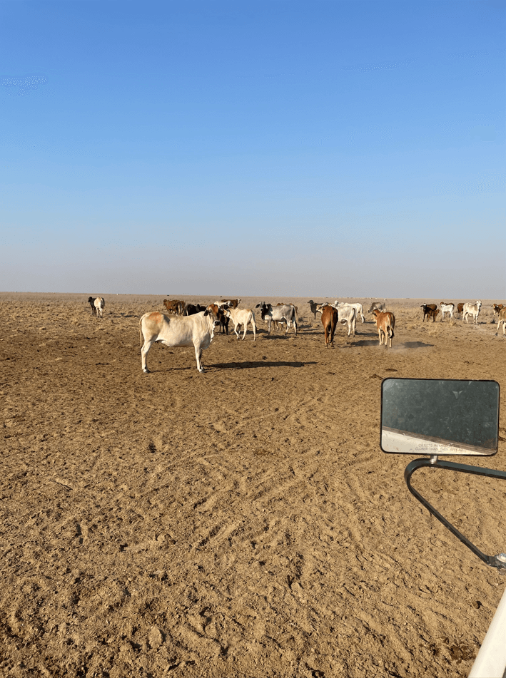
The Yerilla station manager now confidently uses this technology for timely cattle movement to avoid over-grazing.
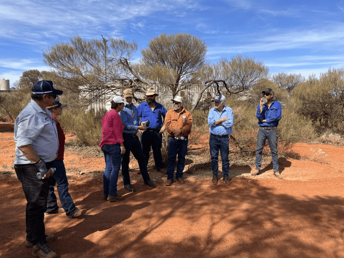
There has been increased interest from pastoralists from across WA to hear more about the package, including from the Kimberley, Pilbara and Goldfields-Nullarbor regions.
This cost-effective methodology shows potential for widespread adoption. It promises long-term improvements of rangeland condition and will help the livestock industry maintain strong welfare outcomes and production goals, managing the rangelands for drought resilience.
This project was undertaken by Contour Environmental and Agricultural Consulting with support from the South-West WA Drought Resilience Adoption and Innovation Hub, through funding from the Australian Government’s Future Drought Fund.
This was a X-Hub collaboration between the South-West WA, Northern Australia, Tropical North Queensland, Southern Queensland Northern NSW, Southern NSW and South Australian Hubs.